The Ritual of Route Planning
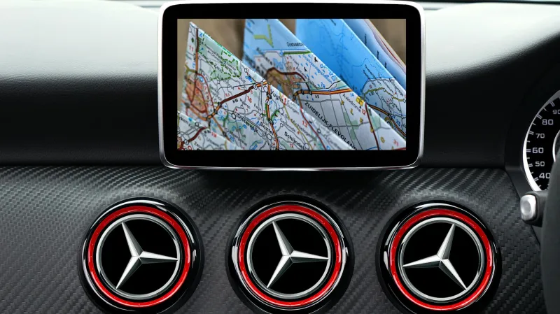
Every great American road trip used to begin the same way: spread across a kitchen table, a massive Rand McNally atlas would unfold like a treasure map, its pages worn soft from countless journeys. Families would gather around, tracing potential routes with their fingers, debating whether to take the scenic highway or the faster interstate. Someone would inevitably argue for the "shortcut" that looked promising on paper but might add three hours in reality.
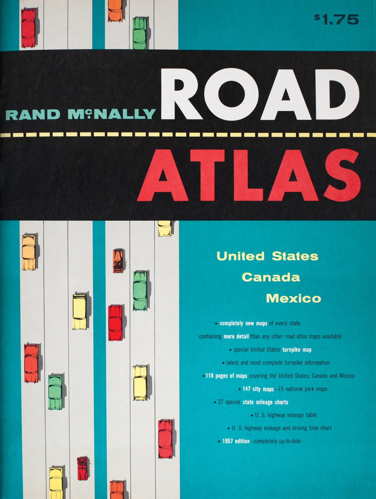 Photo: Rand McNally, via help.randmcnally.com
This wasn't just planning—it was ceremony. Parents would assign navigation duties to the most responsible teenager, who'd spend the next hour highlighting the chosen route in yellow marker, noting mile markers and exit numbers in careful handwriting. Gas stations were marked as strategic waypoints, not because the tank was empty, but because they sold the local maps that the atlas couldn't detail.
The navigator held real power. They controlled the journey's pace, decided when to take breaks, and bore responsibility for keeping the family on track. It was a role that built confidence and spatial reasoning in ways that watching a blue dot move across a screen simply cannot replicate.
When Wrong Turns Led Somewhere Right
Getting lost wasn't a failure—it was an inevitable part of the experience that often produced the trip's best stories. Without GPS rerouting you in 200 feet, a missed exit could mean an hour-long detour through small towns that weren't in any guidebook. These unplanned stops led to conversations with locals at diners, discoveries of roadside attractions that existed only because travelers got turned around, and the kind of serendipitous encounters that made road trips legendary.
Families developed a different relationship with uncertainty. Instead of the mild panic that comes with losing cell signal today, getting lost was met with resignation and curiosity. "Well, let's see where this road goes," became a common refrain, followed by genuine exploration rather than frustrated attempts to get back on the predetermined path.
The absence of real-time traffic updates meant that construction zones and traffic jams were surprises to be weathered together, not obstacles to be avoided through algorithmic rerouting. Families would play car games, tell stories, or simply sit in comfortable silence while waiting for traffic to clear.
The Lost Art of Reading the Landscape
Pre-GPS travelers developed an almost intuitive sense of direction that modern drivers have largely abandoned. They learned to navigate by landmarks, sun position, and the general flow of traffic. Highway signs weren't just suggestions—they were crucial information that required attention and interpretation.
Navigators became skilled at reading the subtle cues that indicated whether they were heading in the right direction: the way mountains appeared on the horizon, the density of billboards as they approached major cities, or the gradual change in license plates that signaled crossing state lines. These skills created a deeper connection to the physical geography of America.
Rest stops and visitor centers served as crucial checkpoints where travelers could recalibrate their route, gather local intelligence about road conditions, and collect the free state maps that would guide them through unfamiliar territory. The staff at these locations were walking databases of regional knowledge, offering shortcuts, scenic alternatives, and warnings about construction that no GPS database contained.
The Social Navigation Network
Without turn-by-turn directions, travelers relied heavily on human interaction. Gas station attendants were consulted like oracles, their hand-drawn maps on napkins often more valuable than official state publications. Locals would provide directions that included landmarks invisible to mapmakers: "Turn left at the red barn," or "Keep going until you see the giant coffee pot."
This dependence on human guidance created countless brief but meaningful connections between strangers. Asking for directions wasn't just about getting information—it was a social exchange that often led to restaurant recommendations, warnings about speed traps, or invitations to local festivals happening that weekend.
Motels and diners served as informal information exchanges where travelers would share route recommendations and warn each other about road conditions ahead. The journey became a collaborative effort involving not just your travel companions, but a network of helpful strangers who understood that everyone got lost sometimes.
What We Gained and Lost in Translation
Modern GPS navigation has eliminated most of the friction from travel, making road trips accessible to people who might have been intimidated by the complexity of route planning. We can now explore confidently, knowing that getting lost is temporary and easily corrected. The efficiency gains are undeniable—trips that once required days of planning can now be undertaken spontaneously.
But something intangible was lost in the translation from paper to pixels. The mental engagement required by map navigation created a different kind of traveler, one who understood geography as more than just a series of turn-by-turn instructions. The tolerance for uncertainty and the problem-solving skills developed through navigation created resilience that extended beyond travel.
Today's travelers arrive at their destinations more efficiently but with fewer stories about the journey itself. The serendipitous discoveries that came from wrong turns have been optimized away, replaced by algorithm-selected points of interest that everyone else is also being directed to visit.
The paper atlas didn't just show you how to get somewhere—it taught you how to be comfortable not knowing exactly where you were, a skill that served travelers well long after they'd folded the map and headed home.