Fold It Right or Get Lost: What Road Trips Were Really Like Before Your Phone Knew Everything
Fold It Right or Get Lost: What Road Trips Were Really Like Before Your Phone Knew Everything
Somewhere in a junk drawer or the back of a closet, there's a good chance you still have one — a folded road map from a gas station or an AAA trip kit, creased in all the wrong places, slightly torn along one seam, and almost impossible to refold correctly once you've opened it. If you know, you know.
For most of the 20th century, that map was your lifeline. Getting from one place to another across America wasn't a passive experience where a calm voice told you what to do in 400 feet. It was an active, sometimes stressful, occasionally humbling exercise in spatial reasoning, preparation, and — when all else failed — asking a stranger for help.
We don't talk much about how completely that experience has vanished. But it really has.
The Tools of the Trade
Before Google Maps, before MapQuest, before the first clunky in-dash GPS units started appearing in luxury cars in the late 1990s, American travelers had a surprisingly sophisticated set of analog navigation tools — they just required actual effort to use.
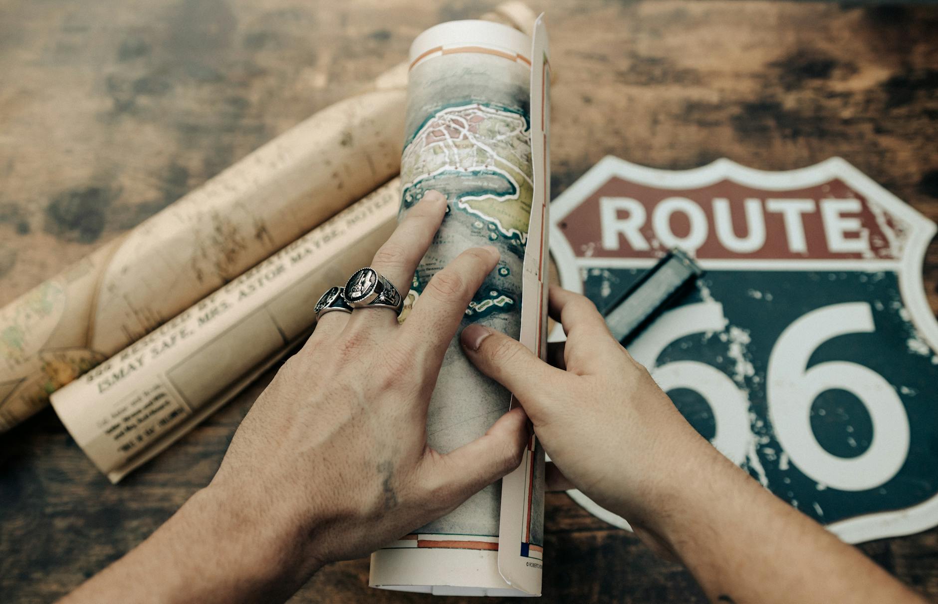
The folded road map was the baseline. Gas stations gave them away for free or sold them for a quarter. Rand McNally and AAA produced detailed state and regional maps that serious road-trippers collected and annotated. The skill of reading a map — understanding scale, interpreting highway symbols, tracking your position relative to landmarks — was something most adults simply had. It was taught in schools. It was assumed.
For longer trips, AAA members could request a TripTik — a custom, spiral-bound booklet of strip maps that showed your specific route, page by page, with handwritten notes from a AAA agent about construction zones, recommended stops, and points of interest. Getting a TripTik felt like a real event. You'd walk into the AAA office, describe your route, and walk out with a personalized travel document that represented actual human labor. It was, in its own way, kind of wonderful.
Then there was the atlas — the big one, usually tucked under the passenger seat or wedged behind it. The Rand McNally Road Atlas was essentially the Bible of American road travel. Updated annually, it covered all 50 states plus major Canadian routes. Families argued over it. Kids traced routes with their fingers. It smelled like paper and possibility.
Getting Lost Was Just Part of It
Here's the thing that's genuinely hard to explain to anyone who grew up with smartphones: getting lost was normal. Not a crisis, not a failure of technology — just a thing that happened. You'd miss a turn, end up on a county road that wasn't behaving the way the map suggested it should, and you'd have to figure it out.
Sometimes that meant pulling over and studying the map for ten minutes while the rest of the car waited. Sometimes it meant stopping at a gas station — and this is the part that feels almost mythological now — asking another human being for directions.
That interaction had its own culture. Gas station attendants in small towns were often genuinely helpful, pointing out landmarks rather than street names because the streets didn't always have signs. "Turn left at the old Miller barn, go about two miles, you'll see the water tower" was a perfectly normal set of directions in rural America as recently as the 1990s. You wrote it down on whatever scrap of paper was available, hoped your handwriting was legible, and headed back out.
Women traveling alone developed particular expertise in this, often planning routes more carefully and building in more margin for error — because getting stranded in an unfamiliar place carried risks that a map couldn't solve.
The Interstate System Changed Everything (The First Time)
It's worth noting that navigation got dramatically easier once before — when the Interstate Highway System, launched under President Eisenhower in 1956, began connecting American cities with numbered, well-signed limited-access highways. Before the interstates, cross-country travel meant navigating a patchwork of US routes and state highways through the center of every town along the way.
Route 66 is romanticized today, but driving it in the 1940s meant stopping at traffic lights in dozens of small towns, navigating confusing junctions, and relying heavily on guidebooks like the AAA Blue Books — thick volumes that gave turn-by-turn directions using landmarks and mileage readings because road signs were inconsistent at best.
The interstates simplified all of that. Green signs, consistent numbering, predictable exits. Navigation became meaningfully easier. But you still needed to know where you were going.
What GPS Actually Took Away
The first consumer GPS devices — the Garmin StreetPilot, the TomTom — showed up in the early 2000s and sold for several hundred dollars. By the time Google Maps launched in 2005 and smartphones put navigation in everyone's pocket, the old skills started quietly fading.
What replaced them is genuinely impressive. Real-time traffic rerouting. Accurate arrival times. Satellite imagery of your destination before you get there. The ability to find the nearest gas station, pharmacy, or taco place in seconds. Nobody seriously argues that paper maps were better in a practical sense.
But something else went with them. The mental map that regular drivers once maintained — a spatial understanding of their city, their region, the country — has largely atrophied for a generation that has never needed it. Studies on spatial cognition have suggested that heavy GPS reliance is associated with reduced activity in the hippocampus, the brain region involved in navigation and memory.
There's also something less quantifiable. Road trips used to involve a kind of active engagement with the landscape — you were tracking your progress, watching for landmarks, building a mental picture of where you were. Now you follow the blue line and zone out. The journey became more efficient and, for many people, less present.
You Got There Eventually
The lost art of pre-GPS navigation wasn't just about maps and TripTiks. It was about a different relationship with uncertainty. You left earlier to account for wrong turns. You paid attention. You talked to people. You made decisions without perfect information and mostly got where you were going.
There's no real argument for going back. But it's worth pausing to notice what quietly disappeared — the competence, the patience, and the particular satisfaction of arriving somewhere you found yourself, without any help from a satellite.
A version of this article draws on historical records from AAA, the Federal Highway Administration, and the Library of Congress American Road Trip archives.